Trails in Carlsbad
The City of Carlsbad maintains a network of trails described by the city as approximately 67 miles in total, with about 51 miles classified as open space trails intended to protect natural habitat while providing recreational access[1]. The trails range from easy, paved mobility paths connecting neighborhoods to shops and services to difficult, unpaved routes through open space[1][3]. The system is overseen as part of the city's broader parks and recreation programs[5].
Trails are distributed across the city's northeast, northwest, southeast and southwest quadrants and include routes near landmarks such as Batiquitos Lagoon, Lake Calavera and the Aviara community[3].
Overview
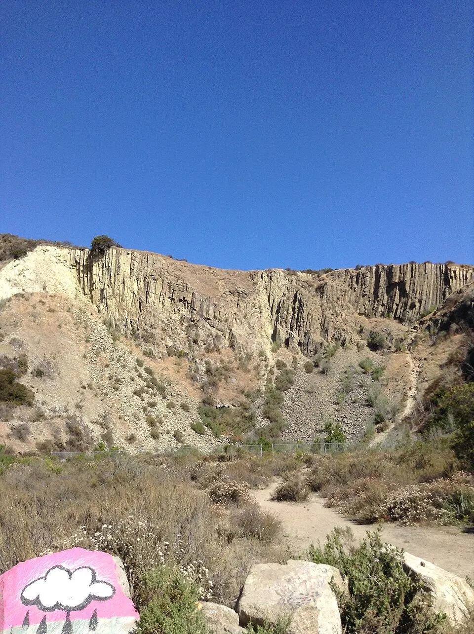

According to the City of Carlsbad, the city has approximately 67 miles of trails and 51 miles of open space trails, supporting an active lifestyle while protecting and preserving open space[1]. The city describes the trails as including options for an easy scenic stroll, a challenging hike, mountain biking and scenic views, with many trails connecting neighborhoods to shops and local services[1]. The city also promotes the trail network through a mobile application called GoHike Carlsbad, which provides detailed information on individual trails[3].
Trail planning and management fall under the city's Trails Master Plan, adopted in 2019 as a blueprint for how trails will be developed and managed in the future[4]. Trails are also connected to the city's broader open space preservation history, which includes a 2004 Habitat Management Plan guiding the design, management and public use of the city's natural open space preserve system; Carlsbad is described as the only North County city with an approved Habitat Management Plan[4].
The trail system
Funding for trail and open space acquisition has come in part from Proposition C, approved in 2002, which authorized the City Council to spend more than $1 million to acquire open space and build trails; as of 2022, the city reported spending $4.2 million on open space and trails projects, including South Shore Agua Hedionda Lagoon Trail Improvements, the Arroyo Vista Trail Extension and Lake Calavera Trails, with $1.8 million remaining budgeted for future open space purchases[4].
The city's official trail locations list organizes individual trails by name, length in miles, difficulty, surface type, trail type (mobility or open space) and quadrant[3]. Trails vary widely in length, from short connector segments of about 0.1 to 0.4 miles, such as the Calavera Hills Trail and Village H North Trail, to longer routes exceeding two miles, such as the Quarry Creek Trail at 2.1 miles and the East Ridgeline Trail at 2.1 miles[3]. Surfaces range from paved mobility paths, such as the Armada Drive Trail and Sea Wall Trail, to unpaved open space trails such as those in the lagoons and preserve areas[3].
The city periodically organizes trail volunteer cleanup events, including one held at the Coastal Rail Trail and another at the Robertson Ranch East Trail[1]. A printable trail map is available from the city, along with an email update service for trail-related news[3].
Notable trails
The Batiquitos Lagoon trail system borders the northern side of the 561-acre lagoon, which is protected by municipal ordinances as a game sanctuary and bird estuary and owned by the California Department of Fish and Wildlife[2]. According to the City of Carlsbad, the public walking and hiking trail along the lagoon's north shore is currently 2.7 miles long, with additional segments planned[2]; the city's trail locations table lists the Batiquitos Lagoon North Shore segment at 2.7 miles and the North Bluff segment at 0.7 miles[3]. Wikipedia describes the lagoon's north-side nature trail as 1.75 miles and generally wheelchair and stroller friendly[6]. Dogs are allowed on the Batiquitos trail if leashed at all times, according to the city[2], while the California Department of Fish and Wildlife, which administers the adjacent Batiquitos Lagoon Ecological Reserve, states that no horses, bikes or drones are allowed there and that dogs must be under owner's control at all times[7].
Lake Calavera and the surrounding Lake Calavera Preserve offer multiple named trails, including the East Loop Trail, Serpentine Trail, Lake Loop Trail, Land Managers Trail, Monkey Flower Trail, Oak Riparian Trail and Sage Creek/Solar Walk Trail, among others, ranging from easy to difficult and covering both paved and unpaved surfaces[3]. The preserve surrounds Cerro de la Calavera, also known as Mount Calavera, an extinct volcanic plug rising about 513 feet (156 meters) that last erupted an estimated 22 million years ago and is one of only three volcanic plugs in Southern California[8]. Wikipedia describes the broader Lake Calavera Nature Preserve as a 110-acre space that was officially set aside in the 1990s and that still offers miles of hiking trails with ocean views, despite losing part of one corner to the 2012 construction of a high school[9].
Other notable routes include the paved Coastal Rail Trail and Sea Wall Trail in the northwest quadrant, both listed as easy mobility trails[3]; trails through Aviara, including the Eucalyptus, Black Sage, Golf View and Salt Marsh trails, generally rated moderate; and the Rancho La Costa Preserve network in the southeast quadrant, which includes a 7.0-mile segment and several shorter connecting trails rated moderate to difficult[3]. Agua Hedionda Lagoon is also bordered by several trail segments, including the North Shore Hubbs Trail and Kelly Trail, listed as open space trails with unpaved surfaces[3].
Trail rules
- Due to prolonged drought conditions, the city has stated that trails and open space are vulnerable to fire and prohibits motorized vehicles, smoking, fires, firearms and fireworks on trails, with violations of Carlsbad Municipal Code 11.32.030 and fires to be reported to 911[1].
- At Batiquitos Lagoon, the trail and picnic tables are open from dawn to dusk, and the Nature Center restroom and viewing deck are typically open from 9 a.m. to 3 p.m., subject to volunteer availability[2].
- Dogs are allowed on the Batiquitos Lagoon trail but must be leashed at all times, according to the City of Carlsbad[2], while the California Department of Fish and Wildlife states that at the adjacent Ecological Reserve, horses and bikes are not allowed, drones require a special use permit, and dogs must be under owner's control[7].
- Fishing at Batiquitos Lagoon is permitted only at the rock jetties near South Ponto Beach and under Interstate 5, for those holding a license, according to the city[2], while the state wildlife agency specifies fishing is allowed only under the Interstate 5 bridge on the north side and under the Carlsbad Boulevard bridge, with no fishing east of Interstate 5[7].
- Dogs are not allowed in city parks except at designated dog parks, though the city notes trails are a separate option for walking dogs on leash[10].
Common questions
How many miles of trails does Carlsbad have?
The City of Carlsbad states it has approximately 67 miles of trails in total, including about 51 miles classified as open space trails[1].
How long is the Batiquitos Lagoon trail?
The City of Carlsbad lists the public walking and hiking trail along the lagoon's north shore as currently 2.7 miles long[2][3], while Wikipedia describes the nature trail on the north side as 1.75 miles[6].
Are dogs allowed on Carlsbad's trails?
Dogs are allowed on the Batiquitos Lagoon trail if leashed at all times, according to the City of Carlsbad[2], though the adjacent state-administered ecological reserve requires dogs be under owner's control and prohibits horses and bikes[7]. Dogs are generally not allowed in city parks except designated dog parks[10].
What is the volcano visible from Lake Calavera trails?
Cerro de la Calavera, also called Mount Calavera, is an extinct volcanic plug about 513 feet (156 meters) tall within the Lake Calavera Preserve, reachable by trails in the preserve[8].
Is there an app for finding Carlsbad trails?
The City of Carlsbad offers a mobile application called GoHike Carlsbad that provides in-depth information on individual trails, including location, length and difficulty[3].
Related topics
- Parks and recreation in Carlsbad
- Batiquitos Lagoon
- Agua Hedionda Lagoon
- Lagoons of Carlsbad
- Aviara
- La Costa
- Attractions in Carlsbad
- Geography of Carlsbad
References
All sources retrieved November 2026.
- ^ a b c d e f g h i j k "cc_trails". City of Carlsbad. Retrieved November 2026.
- ^ a b c d e f g h i "cc_batiquitos". City of Carlsbad. Retrieved November 2026.
- ^ a b c d e f g h i j k l m n o p "cc_traillocs". City of Carlsbad. Retrieved November 2026.
- ^ a b c d e f "cc_openspace". City of Carlsbad. Retrieved November 2026.
- ^ "cc_about". City of Carlsbad. Retrieved November 2026.
- ^ a b "Batiquitos Lagoon (Wikipedia)". Wikipedia. Retrieved November 2026.
- ^ a b c d "Batiquitos Lagoon Ecological Reserve". California Department of Fish and Wildlife. Retrieved November 2026.
- ^ a b "Cerro de la Calavera (Wikipedia)". Wikipedia. Retrieved November 2026.
- ^ "Carlsbad, California (Wikipedia)". Wikipedia. Retrieved November 2026.
- ^ a b "cc_parks". City of Carlsbad. Retrieved November 2026.