The Barrio
The Barrio is one of the neighborhoods that make up the northwest quadrant of Carlsbad, California, along with the downtown Village and Olde Carlsbad.[1] It was settled by Latinos in the early 20th century and is the site of the Centro de Aprendizaje, a Spanish-language division of the Carlsbad City Library.[1]
The City of Carlsbad describes the Village and the Barrio together as “the historic heart” of the city, representing its past, character and culture.[2] The two neighborhoods are jointly regulated by the Village and Barrio Master Plan, which sets land-use policy and a long-range vision for the areas while addressing community, environmental and economic needs.[2]
Location and boundaries
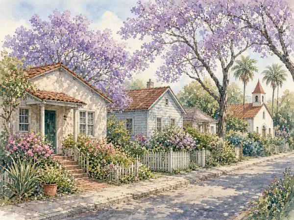
According to the City of Carlsbad, the boundaries of the Barrio are generally considered to be north of Tamarack Avenue, south of Oak Avenue, east of the railroad and west of Interstate 5.[2] Wikipedia describes the Barrio as bordered by Carlsbad Village Drive to the north, Tamarack Avenue to the south, Interstate 5 to the east and the railroad tracks to the west.[1] The Barrio sits within Carlsbad's northwest quadrant (ZIP code 92008), the first part of the city to be settled, which also includes Carlsbad Village and Olde Carlsbad.[1]
Together, the Barrio and Village are designated a “smart growth opportunity area” by SANDAG, the San Diego Association of Governments, owing to their proximity to transit, including the Coaster/Amtrak station, their compact land use and grid street pattern, and flat, walkable and bikeable topography.[2]
History
The Barrio was settled by Latinos in the early 20th century, according to Wikipedia, which notes it is near downtown Carlsbad and is home to the Centro de Aprendizaje, a Spanish-language division of the Carlsbad City Library.[1] The city has noted that the Village and Barrio areas currently contain only three structures listed on a national or state historic registry.[2]
Planning and the master plan
The Village and Barrio Master Plan, developed with community input beginning in 2013, was approved in 2019 and sets the vision and development strategy for both neighborhoods.[2] The plan has since been amended: it was amended in February 2021 for the Coastal Zone portion and in September 2023 for inland areas, and both versions remain in effect for their respective areas.[2]
On Feb. 16, 2021, the City Council voted to amend the master plan to shift decision-making authority for development projects in the Barrio from the Planning Commission to the City Council, aligning review authority across both the Village and the Barrio; the change took effect in August 2021.[2] Projects still go to the Planning Commission for review before a City Council decision.[2]
The city has identified priorities including pursuing historic district designation—which requires consent of all property owners, a geographically definable area of linked historic resources, and at least 50% of contributing resources already designated—continuing the Grand Avenue Promenade project on Grand Avenue, and expanding locations for farmers and cultural arts markets within the Barrio Center and Barrio Perimeter Subdistricts.[2] In April 2023, the city initiated a Mills Act Program to encourage voluntary rehabilitation of qualified historic resources, which would be added to a local historic registry as part of efforts toward eventual historic district status.[2]
On Aug. 29, 2023, the City Council approved objective design standards for future multifamily and mixed-use projects in the Village and Barrio, incorporated into the master plan as Appendix E; a Citizens Design Review Committee was appointed to help apply these standards.[2] The standards are in effect in inland areas but, as of the source, remained pending certification from the California Coastal Commission before taking effect in the Coastal Zone.[2]
Community
City planning priorities for the Barrio include encouraging “vital uses” such as small grocery stores, post offices, hardware stores, pharmacies and farmers markets to serve residents' daily needs.[2] The city has also pursued improved parking strategies, traffic-flow improvements such as evaluating changes to Tyler Street, and a completed plan for safer walking and biking that includes traffic circles, better lighting, new bike lanes and improved sidewalks.[2]
The City Council has also worked on making temporary outdoor dining and shopping areas in the public right-of-way permanent, gathering input from businesses and residents following the expiration of special COVID-19 rules.[2] These efforts are coordinated alongside planning for the neighboring Village under the same master plan.[2]
Common questions
What are the boundaries of the Barrio?
The City of Carlsbad generally describes the Barrio's boundaries as north of Tamarack Avenue, south of Oak Avenue, east of the railroad and west of Interstate 5.[2]
How is the Barrio different from the Village?
The Barrio and the Village are distinct downtown-area neighborhoods, but both are governed under the single Village and Barrio Master Plan, which tailors land-use policy to each area's needs.[2]
Who makes development decisions for the Barrio?
Since a 2021 amendment, the City Council has final decision-making authority over development projects in the Barrio, after review by the Planning Commission; previously the Planning Commission had final say for Barrio projects.[2]
Is the Barrio a designated historic district?
Not yet; the city has outlined a process requiring property owner consent and a concentration of designated historic resources, and notes only three structures in the area currently hold national or state historic registry status.[2]
Related topics
- Carlsbad Village
- Neighborhoods of Carlsbad
- Historic landmarks of Carlsbad
- Government of Carlsbad
- Carlsbad City Council
- Geography of Carlsbad
- Education in Carlsbad
- La Costa
References
All sources retrieved November 2026.